
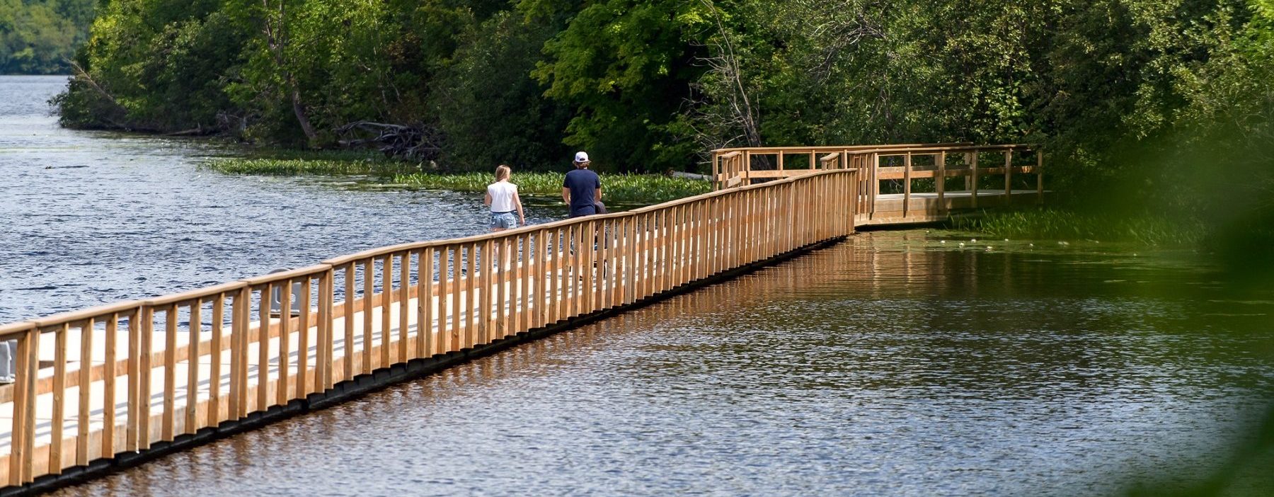


Tread Lightly this summer by exploring the many beautiful bike rides Muskoka has to offer.
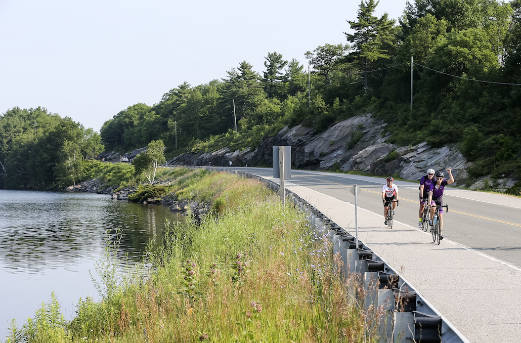
Muskoka is a cyclist’s paradise with its rugged terrain, stunning scenery, and numerous cycling routes. Whether you’re an experienced cyclist or a beginner looking for a new adventure, Muskoka has something to offer everyone. In this blog, we’ll take a look at some of the best cycling routes in Muskoka, complete with distances, sites to see, total ascent of each route, level of difficulty, and places to eat and drink.
- The Muskoka Lakes Route
45°01’56.2″N 79°38’34.7″W, Moon River Road, Bala
Distance: 93.27 km
Total Ascent: 422 metres
Level of Difficulty: Intermediate
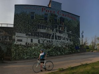
This route will take you on a beautiful journey through the Muskoka Lakes. You’ll pass by pristine lakes and forests while experiencing some challenging rolling hills along the ride. Be sure to stop in Port Carling which is known for having the world’s largest mural “The Wall”, to take a picture. This route is for intermediate-level riders because of the distance and many hills. Along the route, there are plenty of cafes and restaurants where you can take a break and refuel. Another highlight of this route is the town of Bala, which is famous for its cranberries, and its annual Cranberry Festival in October which is a truly unique experience. There are numerous restaurants and cafes to choose from in Port Carling, like Field of Greens or Sherwood Inn if you want fine dining.
- The Bracebridge Route
45°02’18.6″N 79°18’26.5″W, Ecclestone Drive, Bracebridge
Distance: 54.51 km
Total Ascent: 151 metres
Level of Difficulty: Moderate
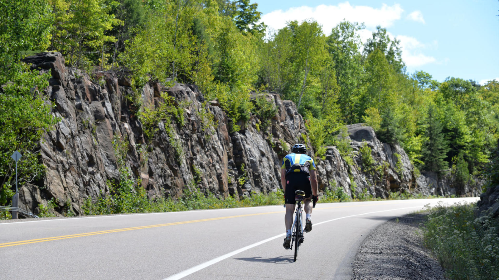
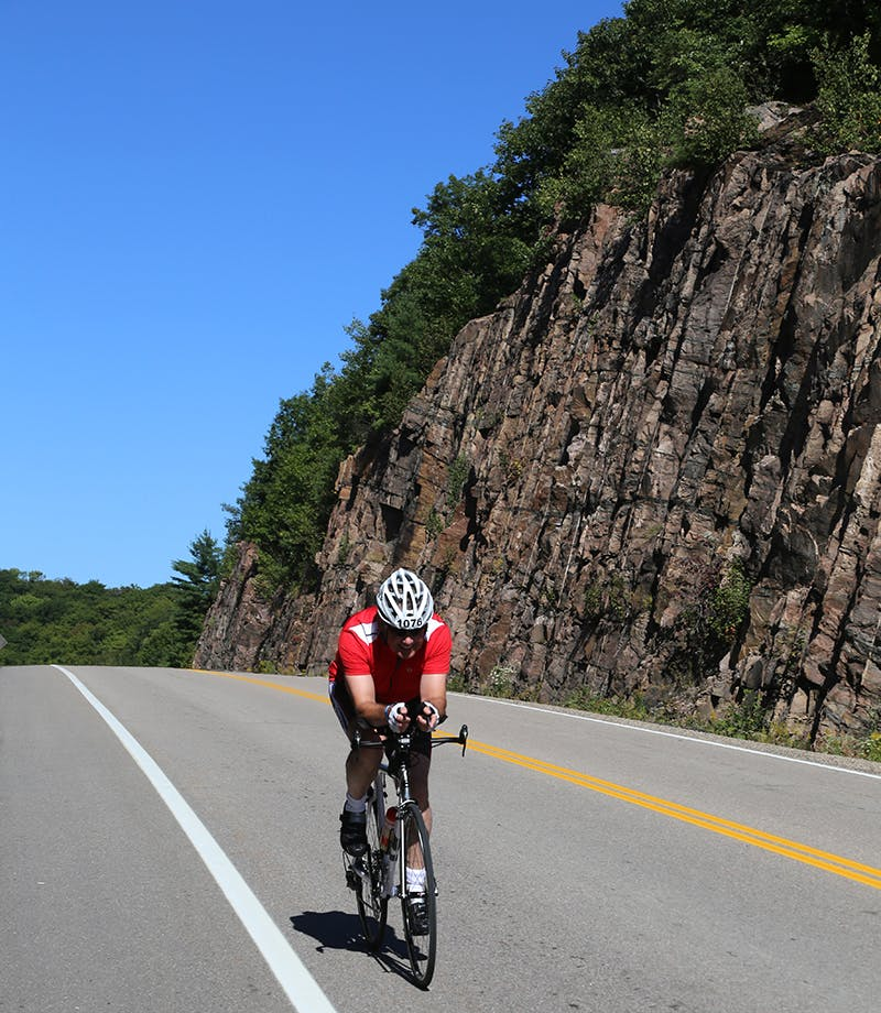
If you have some cycling experience and are looking for a challenge this is the perfect route for you. Starting in Bracebridge, you’ll cycle through the beautiful Muskoka countryside to the small community of Milford Bay. This route is perfect for cyclists with a moderate skill level and cyclists with some experience. Along the way, you’ll see numerous lakes and scenic views, including the opportunity to see some of Muskoka’s variety of wildlife. The best part of this route is passing through the Huckleberry Rock cut in Milford Bay as it is awe-inspiring to see how massive the rock face is. At the end of your ride in Downtown Bracebridge, there are numerous restaurants and cafes to choose from to refuel. Some of these places are The Old Station Restaurant or Basilico Inn at the Falls.
- The Georgian Bay Route
44°48’22.9″N 79°44’04.4″W, Lone Pine Rd., Port Severn
Distance: Approximately 64.62 km
Total Ascent: 112 metres
Level of Difficulty: Intermediate
This route is great for more experienced riders looking for a challenge that also has great scenic stops throughout the ride. Beginning in Port Severn, this 65 km route takes riders northwest towards Honey Harbour. The first stop is at the water’s edge on the Picnic Island dock which is the perfect place to eat and recharge before continuing the rest of your ride. After your break, the route takes you East where you can marvel at the Big Chute Marine Railway a great engineering feat that is the only one of its kind in North America.
- The Lake of Bays Route
45°21’35.6″N 79°05’54.8″W, Highway 35, Dwight
Distance: Approximately 73.22 km
Total Ascent: 399 metres
Level of Difficulty: Intermediate
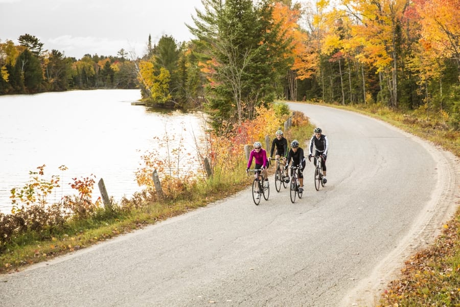
This route is scenic, well-maintained, and has some challenging hills. Starting from Dwight, you’ll make your way around the picturesque Lake of Bays, passing through numerous quaint towns before ending back in Dwight. The cycling terrain varies from flat, paved roads to winding, hilly roads, offering a mix of difficulty levels for every cyclist. Along the way, there are plenty of lookouts like the Dorset lookout tower off Hwy 35. To get there turn onto Dorset Scenic Tower Rd to see one of Muskoka’s best lookouts. There are plenty of cafes and restaurants like the Cast Iron Restaurant.
- The Gravenhurst Route
44°55’20.0″N 79°24’22.3″W, North Loon Lake Road, Gravenhurst
Distance: 112.52 km
Total Ascent: 509 metres
Level of Difficulty: Intermediate
Starting and ending near the spectacular Muskoka Wharf in Gravenhurst, this 112 km loop will test your endurance. It passes by several lakes and waterways, giving you great views of the water and the surrounding countryside. The ride from Gravenhurst to Torrance is on the shoulder of a well-paved but generally busy road. Otherwise, all the back roads and the road from Torrance south to Severn River are fabulous! You need to cross Hwy 11 to get across the Severn River. The total ascent for this route is 509 m. If you need a break, there are plenty of cafes and restaurants to enjoy as there is The Boathouse Restaurant at Taboo Resort or the Cliffside Restaurant in the Muskoka Bay Resort.
If you are new to cycling check out the links below for easier rides with fantastic scenery:
Distance: 27.35 km
Total Ascent: 85 metres
Georgian Bay’s Stewart Lake Short Ride
Distance: 21.11 km
Total Ascent: 38 metres
Huntsville’s Old Ferguson Road Bike Ride
Distance: 14.17 km
Total Ascent: 76 metres
Muskoka is a fantastic destination for cyclists of all levels. Whether you’re looking for breathtaking scenery, challenging terrain, or leisurely rides, Muskoka has everything you’re looking for. Each route offers something unique, and with so many cafes and restaurants to choose from, you’ll be sure to find the perfect spot to relax and refuel. So, get on your bike and come explore the stunning region of Muskoka!
No matter how you explore Muskoka, remember, Go Lightly.